Floodplain
March 2019
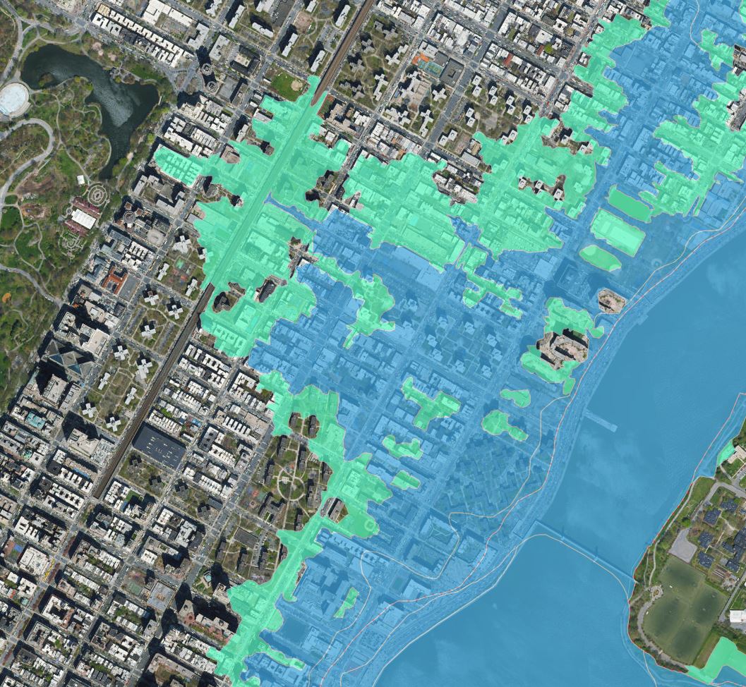
The East Harlem area of Manhattan contains many different interesting characteristics, one of which is
the land that once was the Harlem Marsh. This land is now developed, but still contains the largest at risk
floodplain in Manhattan. Sea levels are constantly rising; how can we understand how the city will be
affected by a potential flood?


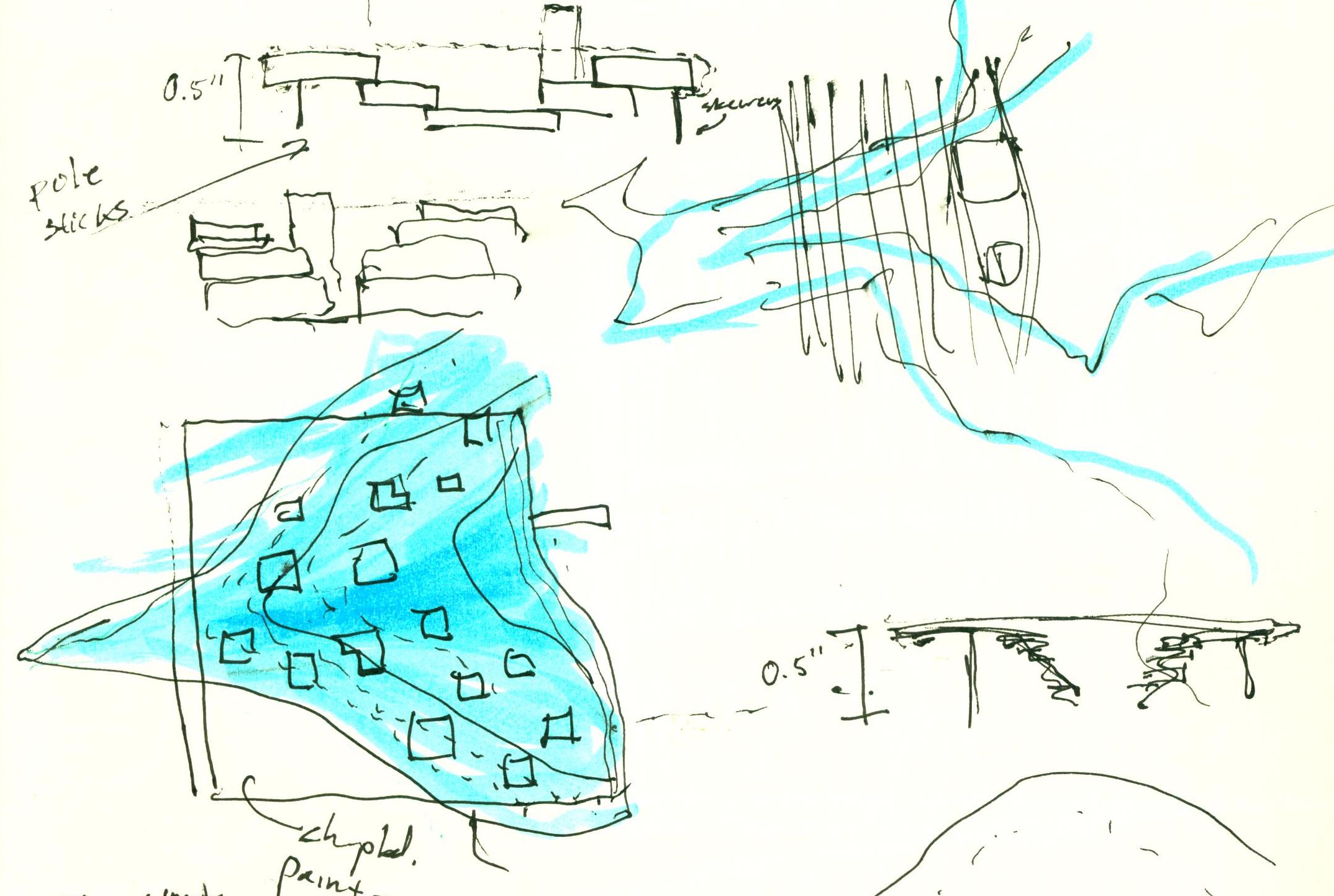
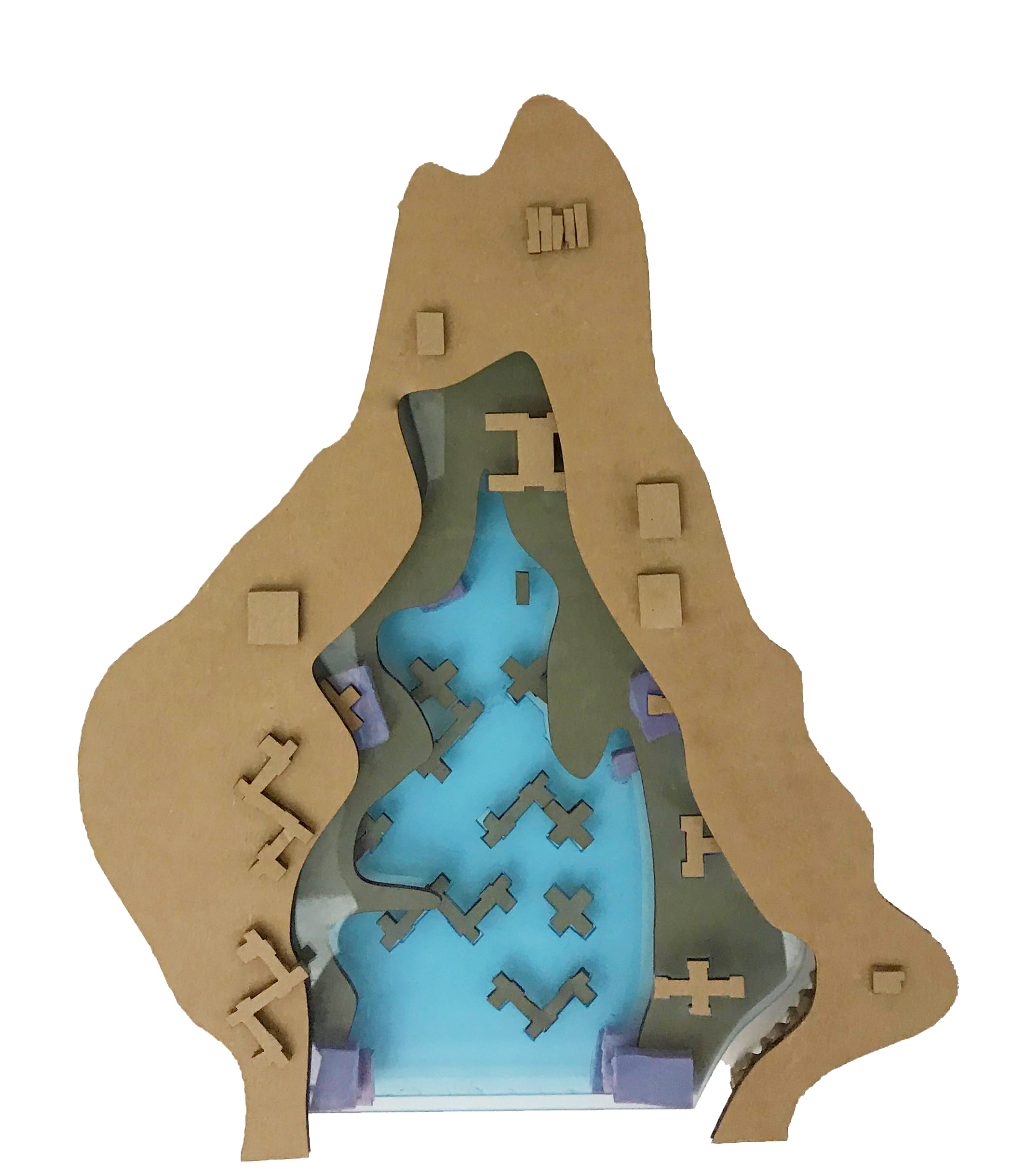
In a city with a dense grid of buildings, fluid dynamics and flow languages were explored in order to
understand the action and movement of water from the Hudson in the event of a flood.